Areas
Tacoma, area by area
Tacoma is a city of separate districts rather than one continuous center, and visitors usually pick two or three of them rather than trying to see everything. Downtown holds the museums and the theatres; the shoreline runs north-west from Old Town; the small business districts — Proctor, Stadium, Sixth Avenue — each work as half a day on foot.
Below: what each area is useful for, the places, walks, guides and T Line stations we have published in it, and the area page itself where one exists. Where an area guide is published, it is the canonical page for that geography.
Start with what you want to do
Each of these points at coverage that already exists on this site. If a visitor interest is not listed, it is because we have not published enough about it yet.
Museums and downtown attractions
Five institutions sit within about a mile of each other in Downtown Tacoma, connected on foot by the Museum Mile.
Waterfront and shoreline
Tacoma's walkable shoreline runs north-west from Old Town along Ruston Way toward Point Defiance.
Restaurants and evenings out
Sixth Avenue is the district we cover for casual dining and late-evening streetlife; Downtown carries the pre-show restaurants.
Coffee and independent shops
Proctor's four-block business district and the Stadium District strip are the two areas we cover for a slow morning and small storefronts.
Historic streets and architecture
The bluff above downtown holds Tacoma's oldest civic architecture and its historic residential blocks — all private homes, so it is a looking walk.
Stadium Districtthe Stadium & North Slope loopbluff architecture walk
Parks and time outside
Point Defiance Park anchors the city's north-west tip; Chambers Bay, in the adjacent city of University Place, is the other large public shoreline we cover.
Point Defiance guideUniversity PlaceChambers Bay Soundview loop
Exploring without a car
The T Line runs through several of the areas below, so a car-free day can be planned around stations rather than parking.
A first visit, with no plan yet
Start downtown and add one more area to the day depending on the weather.
Tacoma neighborhoods
Neighborhoods inside the City of Tacoma, our primary coverage area.
 Editorial Illustration
Pierce County, Washington
Downtown Tacoma
Good for: Museums, the Thea Foss waterway and theatre-district evenings, all on foot.
Read the Downtown Tacoma area experiencePublished here: Tacoma Art Museum · Museum of Glass
 Editorial Illustration
Pierce County, Washington
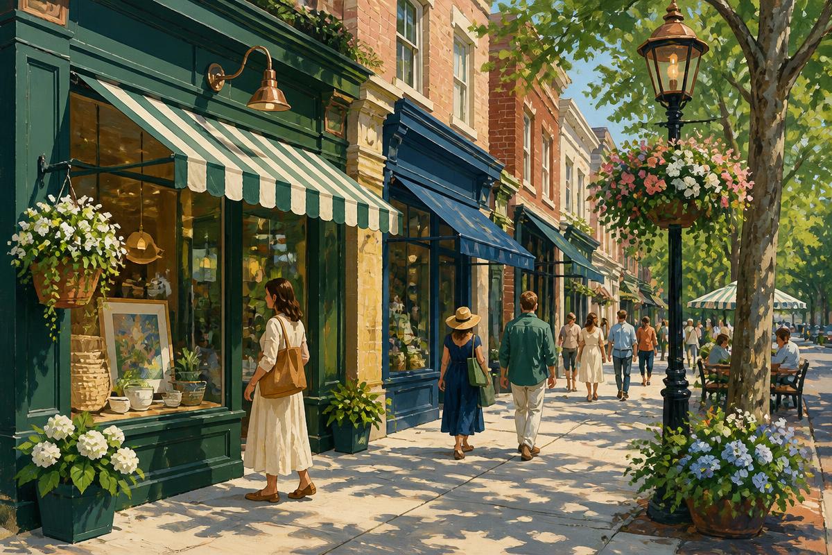
Proctor District
Good for: A slow morning: coffee, bakeries, the Saturday market and a handful of shops.
Read the Proctor District area experiencePublished here: Olympia Coffee · Metropolitan Market
 Editorial Illustration
Pierce County, Washington
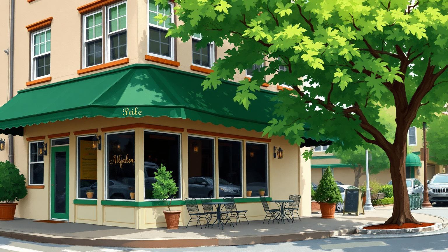
Stadium District
Good for: Historic streets, Wright Park and a short main street between downtown and the North End.
Read the Stadium District area experiencePublished here: Cosmonaut Coffee · Stadium Thai
 Editorial Illustration
Pierce County, Washington
Hilltop
Good for: A restaurant-led main street along MLK Way, reached most easily from the T Line.
We cover Hilltop through individual places, guides and the map.
- T Line: Hilltop District station
- Guide: Hilltop by light rail
 Editorial Illustration
Pierce County, Washington
Old Town
Good for: The oldest corner of the city, one block above the water at the start of the shoreline walk.
Read the Old Town area experiencePublished here: Throwing Mud Gallery · Grit City Made
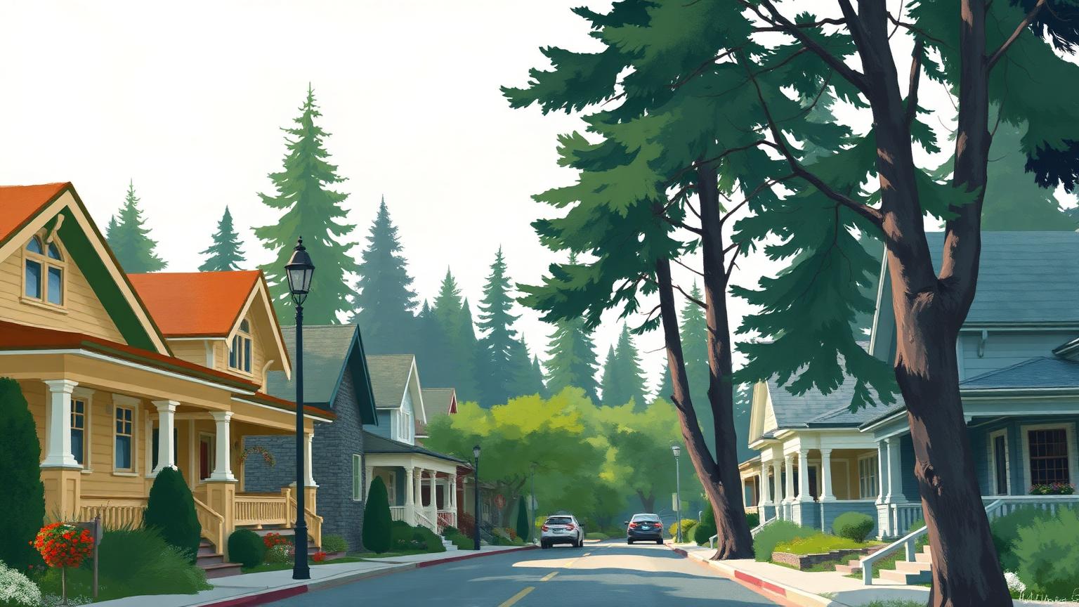 Editorial Illustration
Pierce County, Washington
North End
Good for: Residential Tacoma leading out to Point Defiance Park at the city's north-west tip.
We cover North End through individual places, guides and the map.
- Guide: The Point Defiance guide
Destination districts
Commercial destinations people travel to specifically. Not residential neighborhoods.
 Editorial Illustration
Pierce County, Washington
Sixth Avenue
Good for: A mile of storefronts, casual restaurants and bars that you walk rather than park at.
Read the Sixth Avenue area experiencePublished here: Bluebeard Coffee Roasters · Engine House No. 9
Adjacent communities
Separate incorporated cities and towns near Tacoma. We label them by their own municipal name and never describe them as part of Tacoma.
 Editorial Illustration
University Place · Pierce County, Washington
University Place
Good for: Shoreline walking, an apple orchard park and civic destinations in a separate city south-west of Tacoma.
Read the University Place area experiencePublished here: Chambers Creek Regional Park · Curran Apple Orchard Park
 Editorial Illustration
Ruston · Pierce County, Washington
Ruston
Good for: The far end of the Ruston Way shoreline walk, in its own small municipality.
We cover Ruston through individual places, guides and the map.
- Walk: Ruston Way shoreline
- Guide: The Ruston Way guide
 Editorial Illustration
Fircrest · Pierce County, Washington
Fircrest
A quiet residential town surrounded by Tacoma. Fircrest appears on our map for orientation; we have no destinations of our own to recommend there yet.
Named places that are not areas
Some of Tacoma's best-known names are destinations rather than districts. Thea Foss Waterway, Point Defiance and the Ruston Way shoreline — the two-mile waterfront walk south of the town of Ruston listed above — are covered through guides, walking routes and the map rather than as areas of their own.